


Real-time geomorphology ...
... and other photos of possible interest

A couple of weekends ago, some friends invited us to hang out at a beach on the Aegean side of the peninsula. We live on the opposite side, the Pagasetic Gulf side, and spend most of our time here. The water on the gulf side is typically calmer than over on the Aegean and more amenable to swimming and the topography is gentler. But the flood mucked up the gulf-side beaches and the water more than on the Aegean side. That’s pushed us over the top of the peninsula a bit more.
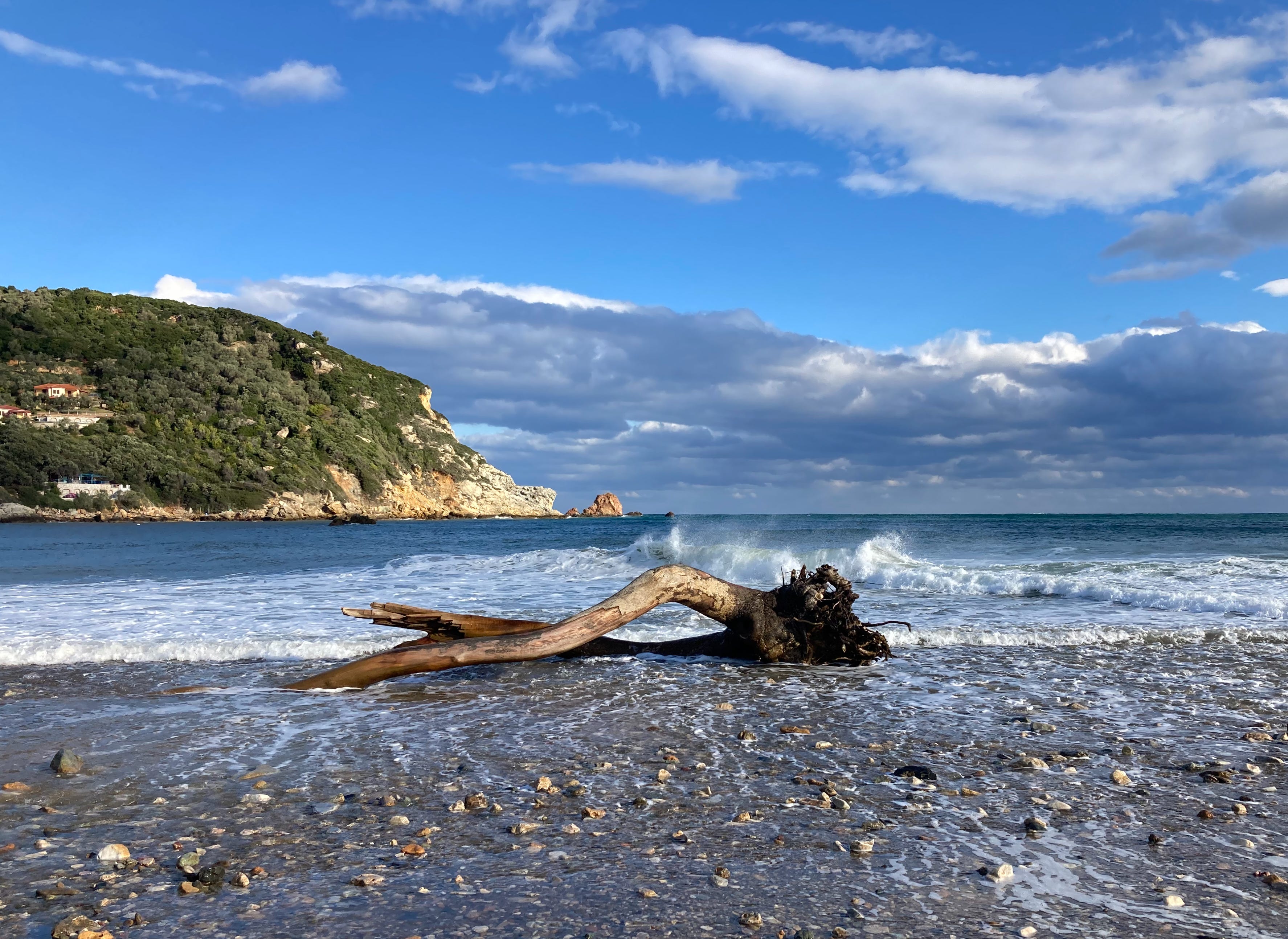
To be clear, the Pelion Peninsula is not very wide — about five miles or less, as the crow flies — so the drive from Argalasti, where we’re renting a house, to Pantazi Ammos beach only took about 45 minutes. And it only took that long because the roads are windy as all get out due to the steepness of the topography, especially on the Aegean side. We passed through Siki and plummeted down a steep, narrow road that winds through olive groves before arriving at a good parking spot. As we started to walk down the road I was stunned to see a mountain of boulders spread across the beach: A debris flow brought down by the floods.
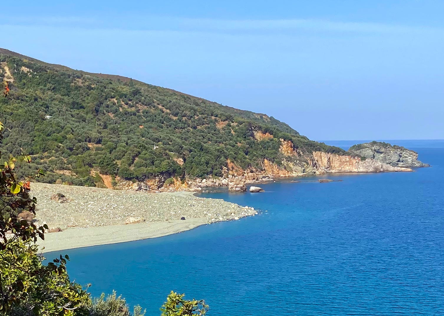
Even though I had never been to that beach, and hadn’t even looked at photos of it, I still was able to intuit that the forces of the “bad weather” Daniel had radically altered the landscape. The magnitude of the changes became clearer as we got closer and noticed a Fiat Panda dwarfed by the boulders. Our friends told us that the rock formations barely visible sticking out from the boulder field were 20 meters high prior to the flood, and that the entire beach was significantly smaller.
The scale was overwhelming. It was as if the entire mountainside had disintegrated in the pouring rain, dissolved into a river of boulders and stones and sand and debris that flowed violently into the sea.

Similar changes had happened elsewhere, but this one was a bit different because it affected very little in the way of human-built infrastructure (though a power line had been snapped and buried). And that meant that the debris in this case was just rocks and tree trunks and sand, not cars and parts of houses and oodles of plastic, as is the case elsewhere.

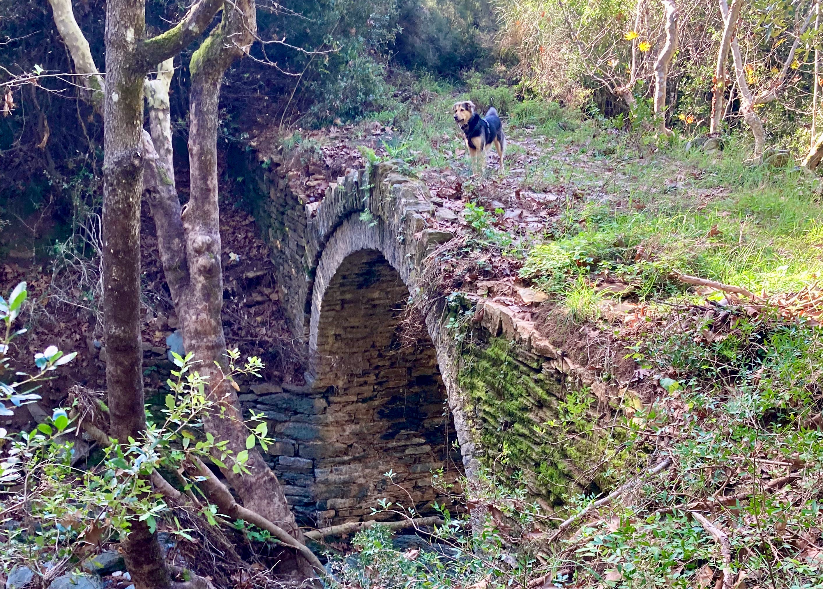
There’s stuff like that all over the place around here.
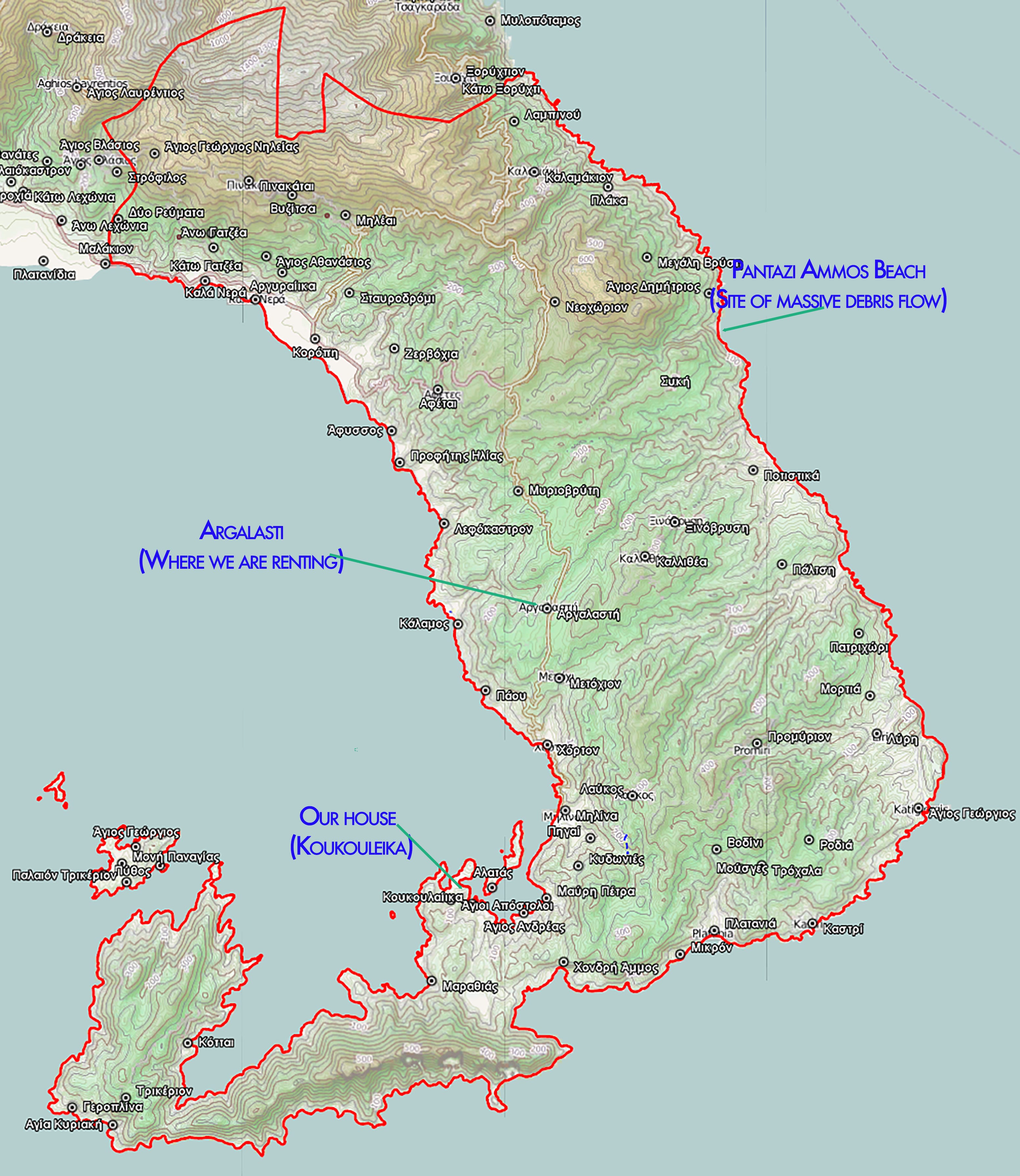
We’re renting a house on the outskirts of Argalasti, which is the commercial and political center of the South Pelion. We’re only about six or seven miles as the crow flies from Koukouleika, but it can feel like another country at times and a much different experience. We live near the crest of a ridge, about 900 vertical feet higher than our sea-level Koukouleika house, which has surprising climatic and ecological implications. Our morning runs and my bike rides start out by going downhill rather steeply; the only way back home is up. And we can now stroll to the grocery store, the farmers market, restaurants and cafes, and our Greek lessons (we are buckling down at last!).
And yet it’s only about 25 minutes by car (a bit longer by bike) to the Koukouleika house, which we are incrementally cleaning and rehabilitating. We’ve slowly gotten it to the point where walking in the front gate isn’t devastatingly depressing (albeit still depressing and somewhat daunting). And we are still trying to decide what to do with it. The options right now:
Proceed with the full-on remodel as we had planned prior to the flood (albeit following a slightly different, more flood-resilient plan), and put a small caravan or whatnot on the adjacent hillside (for a guest room, office, flood-escape room).
Do the minimum amount of work to make the place habitable and find another full-time home here or somewhere else. (There are several different levels contained within this one).
Do the bare-minimum to the house, itself, and put a tiny house or other year-round, livable structure on the hillside next to the house (where it’s less vulnerable to flooding) so that the two together make up a comfortable, habitable, year-round residence. This one is the least likely, and is also only legal if the hillside structure is “temporary” and not on a foundation, which in turn makes the “comfortable” part a bit more challenging.
And then there are an infinite amount of possibilities contained within each of these options. All of which is to say it’s overwhelming.

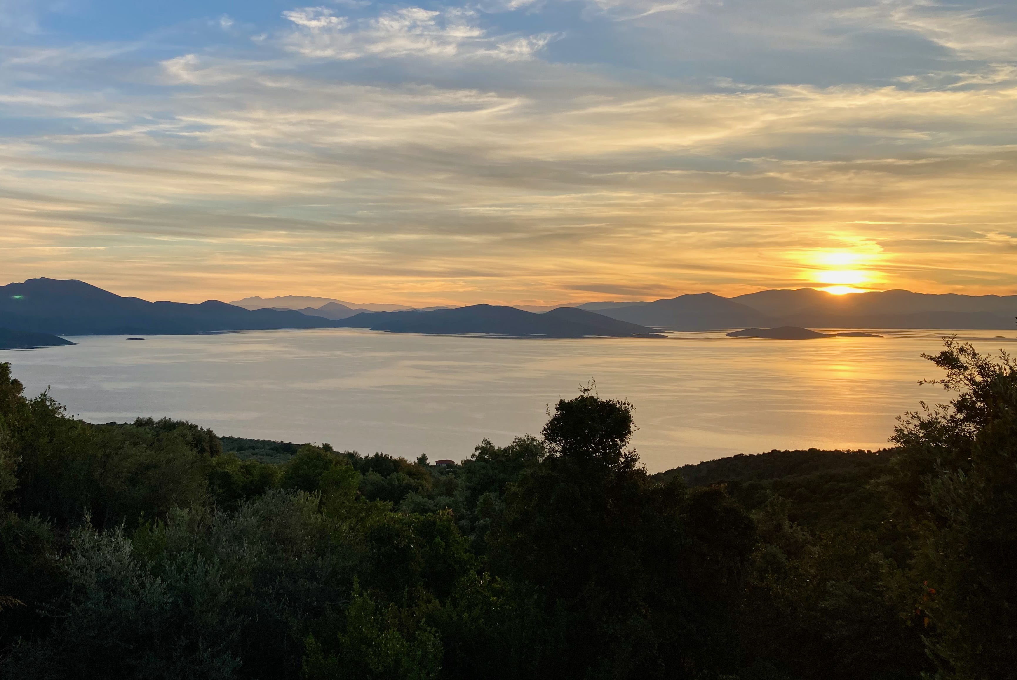
Anyway, we’re trying not to let it stress us out too much and are enjoying the Argalasti life while we’re here. That has included some great runs and hikes and bike rides down to the sea. And today we drove over to the Aegean side to see some bigger waves at Paltsi beach.


That’s it. And since it’s gift-giving time, we’d be remiss not to point you toward the Auslander/Land Desk/Lost Souls Press store. We’ve got several new projects, including jigsaw puzzles and a razorback sucker-Land Desk mug and t-shirt. And who doesn’t want to share their coffee with a razorback sucker?
Killer debris flow, must have been deafening while it was running. The patterns in the rock are folds formed in metamorphic rocks when sedimentary layers are buried and heated, then subjected to tectonic forces. In your case the tectonic forces are from the African plate subducting under the Eurasian plate. The rocks become plastic and deform by folding instead of fracturing in a brittle manner. The rock would be called Gneiss.